Lake June Phase 1 – Pump Station
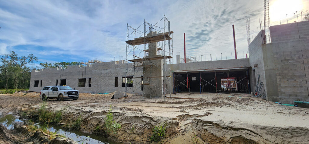
June Lake Phase 1 – Pump Station Spring Hill, Tennessee June Lake is a premiere mixed-use development located on nearly 800-acres at the gateway to the City of Spring Hill, Tennessee. Located adjacent to I-65, June Lake is fully entitled for 2,900 homes, 3.9 million SF of commercial office space, 1.3 million SF of retail and restaurant space, and 400 hotel rooms. DCCM was contracted to design and permit the water and sewer infrastructure for the development, including the Phase 1 sanitary sewer lift station. The lift station was designed to manage a peak demand of 604 gpm, with a total dynamic head (TDH) of 70.2 ft. The design was complicated by the force main having to overcome two separate high points. Ultimately, a steady-state analysis determined that the water column within the force main would start to separate at Station 14+00 and become gravity flow at Station 14+40. The lift station has a 10-ft diameter wet well and utilizes duplex 50-horsepower suction-lift Gorman-Rupp pumps. The station is equipped with an emergency bypass quick-connect fitting and valving that allows City maintenance equipment to continue to manage the demand if the pumps are offline. Services included survey, engineering design, permitting, and construction administration. At a Glance $85,000 Design Cost Markets Water Surveying Services Water & Wastewater Surveying